History
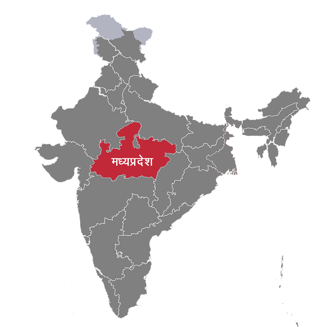
Madhya Pradesh, meaning Central Province, is a state in central India. The area it covers is around 308,252 sq km. It shares its boundaries with states of Uttar Pradesh to the northeast, Chhattisgarh to the southeast, Maharashtra to the south, Gujarat to the west, and Rajasthan to the northwest. There was a time when the state was the largest state in India.
Bhopal, city of lakes, is the capital of the Madhya Pradesh. And Indore, a largest city of the state which is very famous for its cleanness and the people. MP, is the fifth largest state by population in India with over 75 million residents. This state has a history of Rajputs and the Rajas (Kings) and still there are some family exists who belongs to the family of kings. Before 2000, chhatisgarh was also the part of the state, but in 2000 the state split off.
